Equipping every ship that enters the Arctic with sensors could help fill critical gaps in maritime charts.
Throughout world, the ocean floor’s details remain largely a mystery; less than 10 percent has been mapped using modern sonar technology. Even in the United States, which has some of the best maritime maps in the world, only one-third of the ocean and coastal waters have been mapped to modern standards.
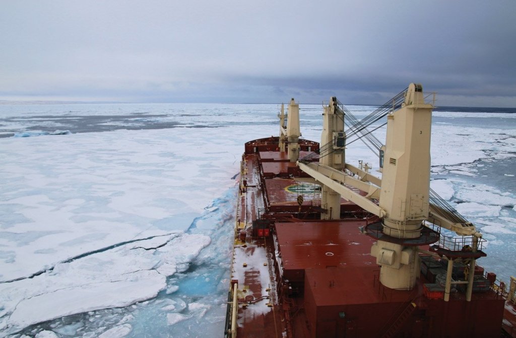
But perhaps the starkest gaps in knowledge are in the Arctic. Only 4.7 percent of the Arctic has been mapped to modern standards. Read more at ArcticToday.
Categories: Freelance Articles


